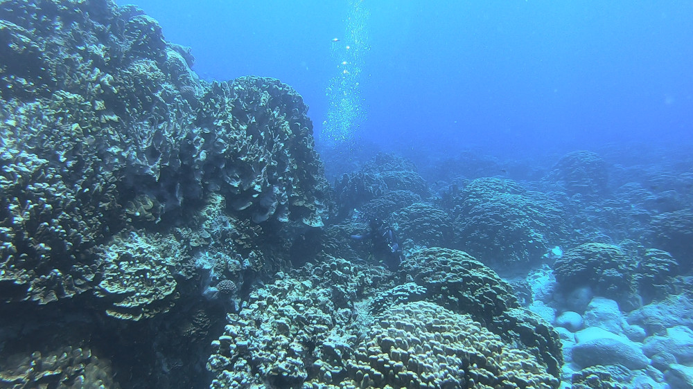
 Coral reefs on Easter Island (Photo: ECIM)
Natural ecosystems will change in the coming decades, as a result of the
ever-increasing human footprint. While some ecosystems will respond smoothly,
others may exhibit abrupt regime shifts, which are large and sudden changes in
ecosystem state. Of course, such shifts can have dire consequences for
societies depending on natural ecosystems for their social or economical
activities.
Understanding where and when those shifts occur in nature has puzzled scientists for decades - what are the ecological drivers? how can we know that an upcoming shift may occur in a given ecosystem? A possible approach to answer such questions is through ecological modelling, which allows us to come up with scenarios on how an ecosystem could respond to global changes.
Presentation of the project (2:06)
Ecological modelling also helps us understand the link between the patterns we measure in a given system, and the properties of the ecosystem as a whole. In many terrestrial ecosystems where abrupt shifts occur, spatial patterns are known to inform us on how robust a given system is to external perturbations. This has led to the creation of indicators of regime shifts, which measure a given aspect of the spatial structure, such as spatial autocorrelation, and are correlated to the ability of the ecosystem to withstand perturbations (its resilience).
Indecostab aims at translating previous work done on terrestrial ecosystems to the underwater world, and develop spatial indicators of ecosystem resilience for coral reefs. We will combine modelling work with empirical surveys to understand how the spatial structure of reefs informs us on their potential ability to exhibit regime shifts.
Links and resources
Partners
![]()
![]()
Pontificia Universidad Católica de Chile, ECIM
Selected project publications
-
A. Génin, G. Dupont, D. Valencia, M. Zucconi, M. I. Ávila-Thieme, S. A. Navarrete, E. A. Wieters. Easy, fast and reproducible Stochastic Cellular Automata with chouca. Biorxiv, preprint link
-
A. Génin, S. A. Navarrete, A. Garcia-Mayor, E. A. Wieters. Emergent spatial patterns can indicate upcoming regime shifts in a realistic model of coral community. The American Naturalist link
-
[book chapter] Common Oversights in the Design and Monitoring of Ecosystem-Based Management Plans and the siting of Marine Protected Areas Navarrete, S., Aiken. C. M., Ávila-Thieme M. I., Valencia D., Génin A., Gelcich S. link
-
Navarrete S., Ávila-Thieme M. I., Valencia, D., Génin, A., Gelcich, S. Monitoring the Fabric of Nature: Using Allometric Trophic Network models and observations to assess policy effects on biodiversity. Proceedings B link
-
[book in french] Alexandre Génin. 2023 Quand la nature s’effondre – Comprendre les transitions abruptes dans les écosystèmes. (When nature collapses – Understanding abrupt transitions in ecosystems) Ed. Matériologiques. link
Funding
![]()
This project has received funding from the European Union’s Horizon 2020 research and innovation programme under the Marie Skłodowska-Curie grant agreement No 896159.
3D underwater mapping done during the course of this project